Land surveying
For all your real estate projects, from boundary marking to certificates of location and more.
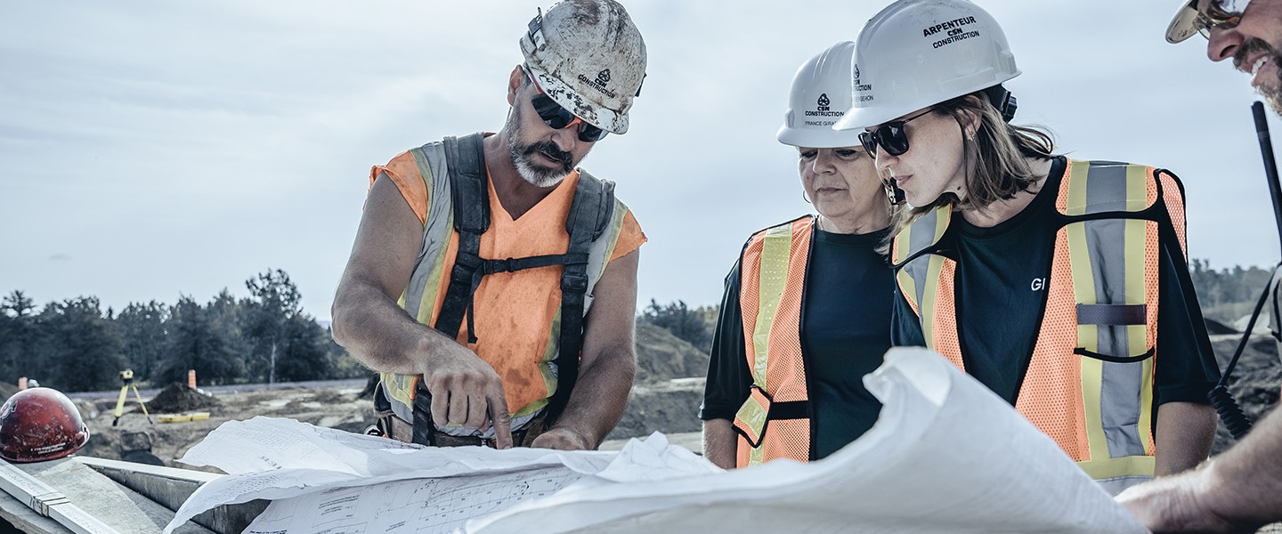
Construction surveying includes all technical surveying operations aimed at building or locating structures on a civil or construction engineering site.
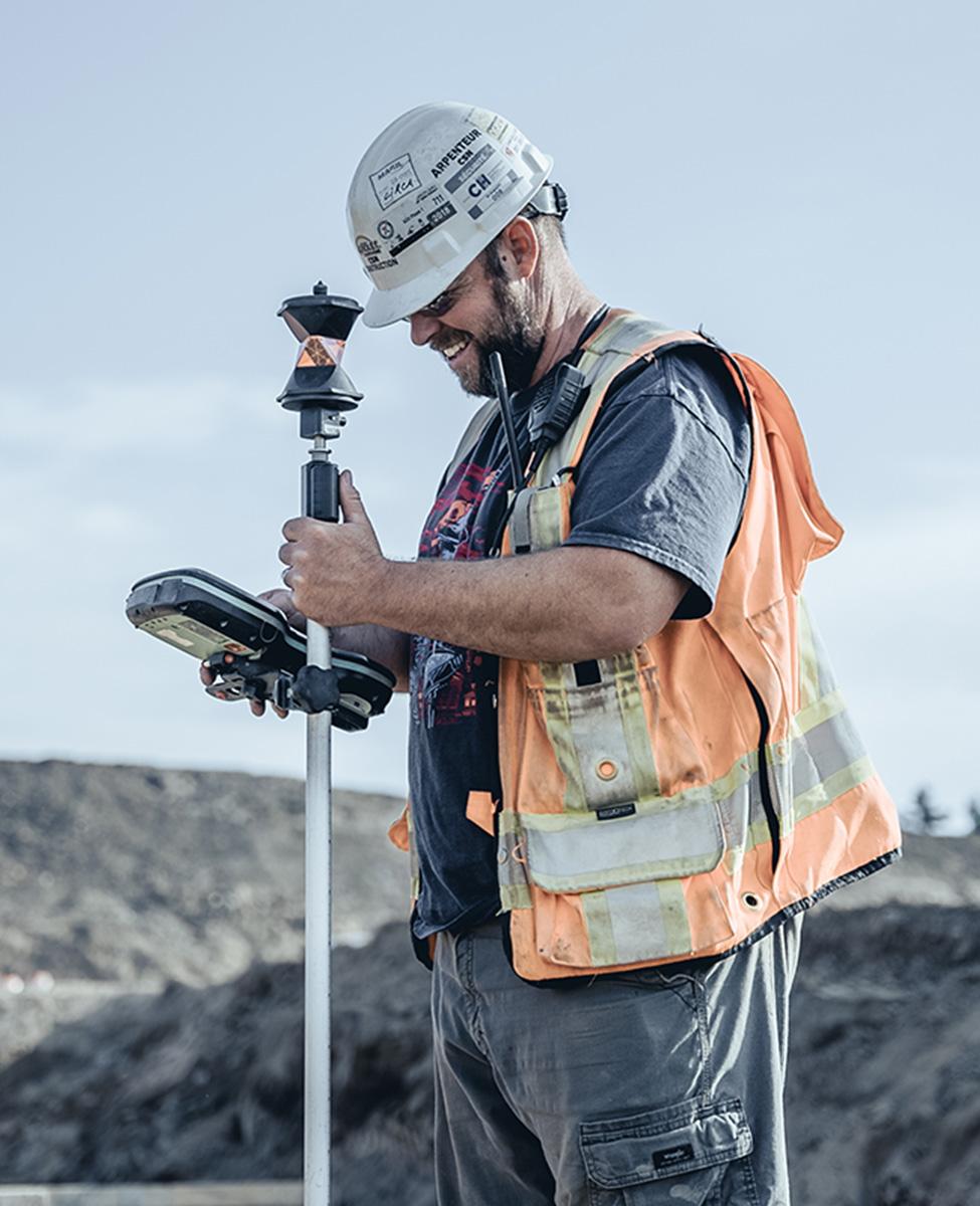
Road site surveying
Our technicians have mastered the art of installing bridges, overpasses, water and sewer systems, and all types of road infrastructures. Our instruments, which use the latest technology, allow us to keep your projects on track.
Building surveying
Count on our services to identify the layout of excavation areas for buildings and to set up formwork, axes, columns, and steel structures, not to mention sleeves for plumbing, ventilation, and electricity.
Quantity calculations and volume measurement
We calculate the volumes of materials before, during, and after your project to prevent cost overruns and material shortages.
Site supervision
To ensure compliance with plans and specifications, we validate the position of road infrastructures as well as the columns, castings, and slabs of the buildings under construction.
Machine control
Integrating different coordinate systems is a specialty of ours. We can help you set up and operate your machine control systems.
Technical drawing
Whatever your needs, our team of designers and draftspeople has a great deal of experience and uses the latest versions of AutoCAD and Civil 3D.
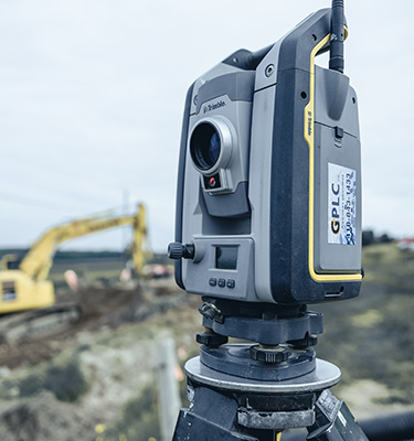
Our Trimble S6 and S7 robotic total stations are a triple threat, combining versatility, accuracy, and efficiency.
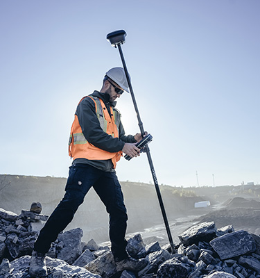
You can rely on the accuracy of the Trimble R8 and R10 GNSS RTK receivers. We also use the latest R12 series GNSS receivers with Trimble ProPoint technology for better reception in difficult conditions and Trimble TIP technology that uses an inertial sensor to capture points that were previously inaccessible!
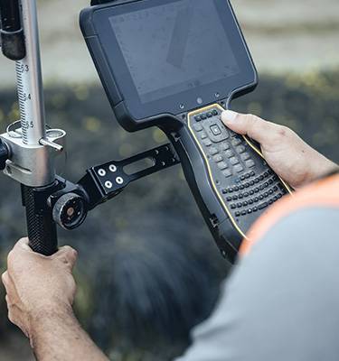
Almost all of our technicians are equipped with Trimble TSC5 controllers. These controllers have proven their superiority on construction sites thanks to their impressive execution speed and optimized data visualization.
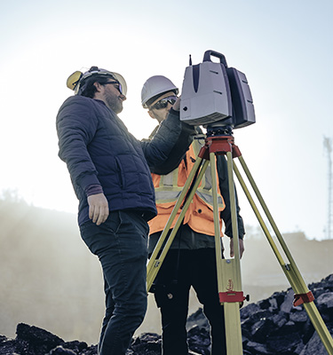
The Leica P-40 3D scanner has a range of nearly 300 metres and can scan 1,000,000 points per second with high accuracy. It’s well-suited for a range of applications, from volume measurement and structure control to point-cloud creation.
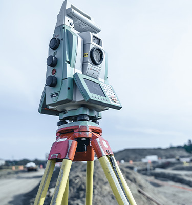
This type of instrument, which brings together the best of a robotic total station and a 3D scanner, is versatile yet very accurate. We use the Leica MS-50 and the Trimble SX10 multi-stations.
Let our achievements prove that we’re the right partner for you.