Land surveying
For all your real estate projects, from boundary marking to certificates of location and more.
Achievements

Our special projects division loves a challenge! When a project requires specific methods or equipment, we call on this division to meet the client’s specific needs. One such project involved surveying the land around a bridge over the Noire River, in the municipality of Saint-Alban, to plan stabilization work after a minor landslide.
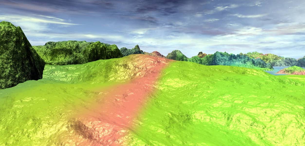
For safety reasons, we decided to start by using a drone, one of the many capturing methods in our “toolbox.” The drone allows us to model the topography of the ground without having to set foot on it, which is ideal for sites that are unstable or hard to access. Next, we used bathymetric instruments to model the riverbed under the bridge. These instruments, which are mounted on a boat, show the precise position and depth of the bed of an entire body of water. By amalgamating the data captured from these two indirect methods, we were able to produce a faithful digital terrain model that will allow Quebec’s Ministère des Transports to design the appropriate stabilization structures.
Whatever your needs, our special projects division has the expertise and resources to measure, locate, and model any site or structure. See for yourself. You’ll be thrilled with the results!
